GEOTECHNICAL ENGINEERING
MADISON
HomeUnderground ExcavationsGeotechnical design of deep excavations

Deep Excavation Geotechnical Design in Madison, WI

Knowledgeable. Thorough. Resourceful.

LEARN MORE

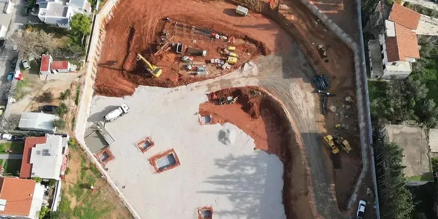
A Caterpillar 336 excavator breaking through frozen topsoil on the Isthmus is a familiar sight for anyone working on downtown Madison projects. Beneath that surface layer, the real challenge begins: the city sits on a complex sequence of glacial deposits left by the last Wisconsin glaciation. We plan deep excavation support in these conditions using observational methods tied directly to site-specific data. For every shoring design, the baseline starts with stratigraphy from a CPT test to map the transition from sandy outwash into the low-plasticity lacustrine clays that dominate the Yahara River valley. Without that resolution, modeling cantilever or anchored wall performance in these interbedded units becomes guesswork, and this city’s water table does not tolerate guesswork.

In Madison's glacial stratigraphy, basal heave failure can develop in clay lenses that CPT logs miss — cross-check with vane shear is our standard protocol.

Our service areas

Our approach and scope

The University of Wisconsin–Madison campus alone has driven over $2 billion in construction since 2015, much of it requiring excavations deeper than 20 feet in tight urban corridors. A typical deep cut along University Avenue encounters stiff to very stiff glacial till with undrained shear strengths between 1,500 and 4,000 psf, then transitions abruptly into softer silty clay lenses where basal stability becomes critical. We model these conditions in PLAXIS 2D using input from triaxial CU tests and field vane shear data, calibrating the hardening soil parameters to match the actual preconsolidation profile. When the design calls for internal bracing, we size walers and struts to limit wall deflection under the 40-foot surcharge influence zone that adjacent mid-rise structures impose. For tieback designs in the Yahara Lakes watershed, we verify grout-to-ground bond capacity with sacrificial test anchors before production drilling, because the lacustrine units can lose bond strength sharply with depth.
Deep Excavation Geotechnical Design in Madison, WI
Technical reference — Madison

Local geotechnical context

Comparing two sites just two miles apart tells the whole story. On the east side near the Yahara River, we encountered 14 feet of soft organic silt below a desiccated crust, requiring jet-grout base improvement to achieve a factor of safety above 1.5 against basal heave. On a west side site near Hilldale, the same excavation depth hit dense glacial till with SPT N-values above 35 — no base treatment needed, but vibration from sheet pile driving had to be managed to avoid settlement in adjacent slab-on-grade residences. The variable lake levels also complicate dewatering design: Lake Mendota and Lake Monona create a persistent groundwater recharge that keeps the phreatic surface high even in dry summers. We run steady-state seepage analyses with SEEP/W for every cut deeper than 12 feet, because assuming hydrostatic conditions in this interconnected aquifer system has led to more than one blowout failure in the region.

Need a geotechnical assessment?

Reply within 24h.

Email: contact@geotechnicalengineering1.org

Reference standards

IBC 2024 (International Building Code, Wisconsin adoption), ASCE 7-22 Minimum Design Loads and Associated Criteria, FHWA GEC No. 4 – Ground Anchors and Anchored Systems, AASHTO LRFD Bridge Design Specifications, 10th Edition (for roadway-adjacent cuts), ASTM D2487 – Unified Soil Classification System, ASTM D4767 – Consolidated Undrained Triaxial Compression Test

Reference parameters

ParameterTypical value
Max design excavation depthTypically 15–45 ft, deeper with top-down methods
Predominant soil unitsGlacial till, lacustrine silty clay, sandy outwash
Undrained shear strength (Su) range800–4,500 psf in cohesive layers
Groundwater control methodDeep wells or wellpoints depending on k-value > 10⁻⁴ cm/s
Wall types analyzedSheet pile, soldier pile & lagging, secant pile, diaphragm wall
Bracing stiffness verificationLoad cells on struts during excavation stage monitoring
Design standardIBC 2024, ASCE 7-22, FHWA GEC No. 4

Frequently asked questions

What factors most influence deep excavation design costs in Madison?

Project costs typically range from US$1,910 to US$9,120 depending on excavation depth, wall type, and dewatering complexity. The main cost drivers are the number of soil borings and CPT soundings required to characterize the glacial stratigraphy, the level of instrumentation specified for the observational method, and whether groundwater modeling with pump testing is needed. A 20-foot cut in uniform till costs less than a 35-foot excavation with tiebacks in interbedded clay and sand.

How do you handle the variable groundwater conditions between the Yahara lakes?

We install nested piezometers during the site investigation phase to measure hydraulic head at multiple depths. The data feeds a transient seepage model that accounts for seasonal lake level fluctuations. Based on the model, we design a dewatering system — often a combination of deep wells for pressure relief in the sand layers and vacuum-assisted wellpoints in the overlying silt — and verify its effectiveness with a pump test before the main excavation begins.

What design approach do you use for excavations adjacent to existing buildings on the Isthmus?

For Isthmus sites with zero-lot-line conditions, we use a staged-excavation analysis with finite element software, modeling the building as a surcharge and including its foundation stiffness. Wall deflections are limited to 0.5% of the excavation height or less, and we often specify pre-augering or continuous flight auger cast-in-place piles to minimize vibration. The design includes trigger levels for building settlement monitoring, with contingency grouting pre-approved if differential movement exceeds 1/500 of the span.

Location and service area

We serve projects in Madison and surrounding areas.

View larger map