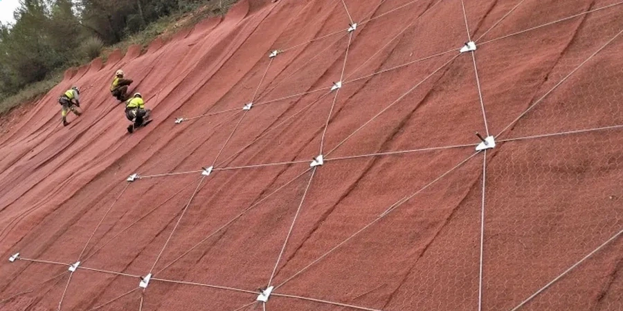
When we mobilize a CPT rig or a track-mounted drill to a Madison site, the first thing we look at isn't just the soil log. It's the topography. The glacial drumlins and the shorelines of Mendota and Monona create slopes that look gentle but hide soft lacustrine clays and interbedded silts. We run our slope stability analysis directly on samples extracted with the CPT test to get continuous tip resistance and pore pressure data before anyone cuts a bench or places fill. In a city where the Yahara River meanders through the isthmus and groundwater sits high, a back-analysis without real site-specific cohesion and friction angle is just guessing. Our approach combines limit equilibrium modeling with lab-measured shear strength to give the grading contractor a factor of safety they can defend to the city plan reviewer. We've worked on projects from the Monroe Street corridor to the new developments near University Research Park, and the local glacial stratigraphy always demands more than a textbook solution.
A factor of safety of 1.3 on paper means nothing if you haven't measured the actual pore pressure in the glacial clay lens.